Boating, Fishing, and Travel Information for South Harpswell, ME
Potts Harbor is a large irregular bight in the southern end of Harpswell Neck, between Potts Point on the east and Basin Point on the west, and Haskell Island and Upper Flag Island and the ledges between them on its southern side. The harbor affords good anchorage in depths of 24 to 33 feet.
Local Goods & Services See All Nearby

Sponsored Content

High Tide Flooding Predictions for May 2024
By US Harbors. Coastal Flooding Outlook for May 2024 Per NOAA, mean sea level is typically higher in the late spring due to changing weather patterns and increasing water temperatures. That said, the outlook for tidal flooding this May is pretty contained, and is certainly less than we saw a… Learn More
Fishing in South Harpswell, ME Map View
Coastal News Updates See All
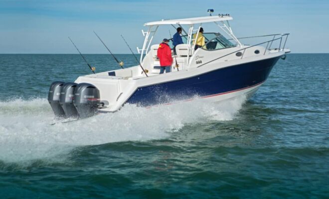
Yamaha F350 Outboard
By Pete McDonald. The new Yamaha F350 is packed with the latest technology and offers the best power-to-weight ratio in its class. As we see more midsize boats opting for big-horsepower or twin-engine installations, an outboard’s power-to-weight ratio ranks as a major factor in how a boat performs. With its… SEE MORE
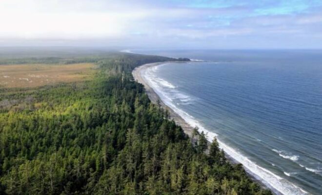
In Coastal British Columbia, the Haida Get Their Land Back
By Serena Renner. By affirming Indigenous land ownership, British Columbia and the Haida Nation are signaling a new era for Indigenous relations. Twenty years ago, Geoff Plant, the then attorney general of British Columbia, made an offer to the Haida Nation. Many West Coast First Nations, including the Haida, had… SEE MORE
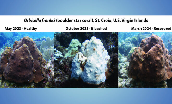
NOAA Confirms 4th Global Coral Bleaching Event
By noaa.gov. The world is currently experiencing a global coral bleaching event, according to NOAA scientists. This is the fourth global event on record and the second in the last 10 years. Bleaching-level heat stress, as remotely monitored and predicted by NOAA’s Coral Reef Watch (CRW), has been — and continues to… SEE MORE