Anchorage can be found in 24 to 42 feet for large vessels in the outer harbor northward of Tumbler Island and off McKown Point. The inner harbor has depths of 6 to 24 feet. The anchorage most used by small craft is on the northwest side of the inner harbor, northeastward of McFarland Island, where there are general depths of 10 to 12 feet, when clear of the ledge around the island.
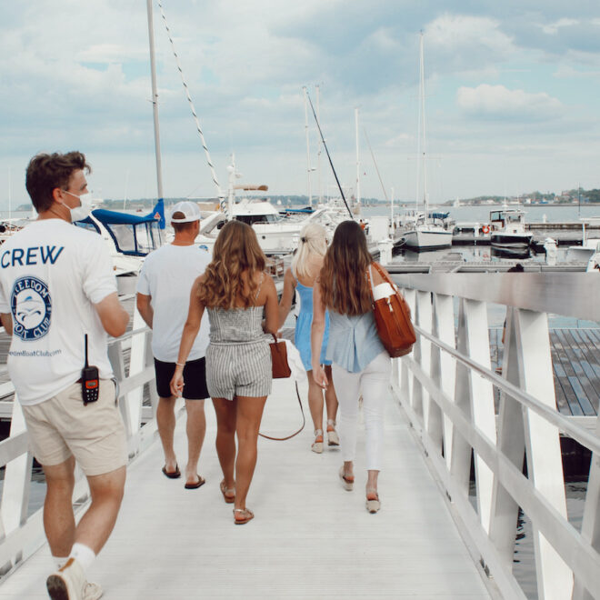
Most craft anchor off the wharves, but there are numerous private moorings, guest moorings maintained by the yacht clubs, and those for hire by the various service facilities. However, it is sometimes difficult to secure adequate swinging room.
Wharves
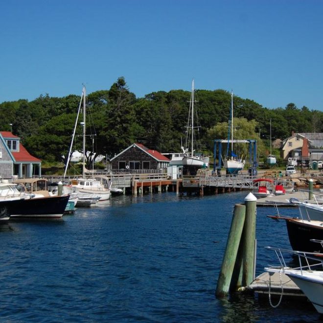
There are service wharves and marinas, almost all with float landings, which have reported depths of 4 to 15 feet alongside. A town float landing with a reported depth of 6 feet alongside is at the draw of the swing footbridge at the northeastern end of the harbor; another town landing is on the west side of the harbor. Piers and buildings of several seafood processing plants are along the easterly shore of the harbor.
The Boothbay Harbor Yacht Club operates from float landings on the south shore of the village of West Boothbay Harbor, northward of McKown Point; depths of 12 feet are reported alongside the landings. The club maintains several guest moorings.
Small-craft facilities
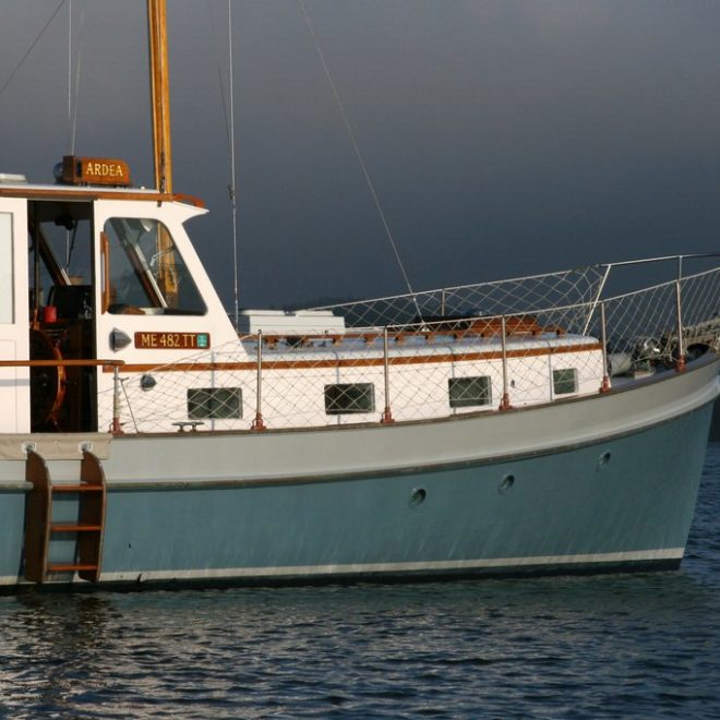
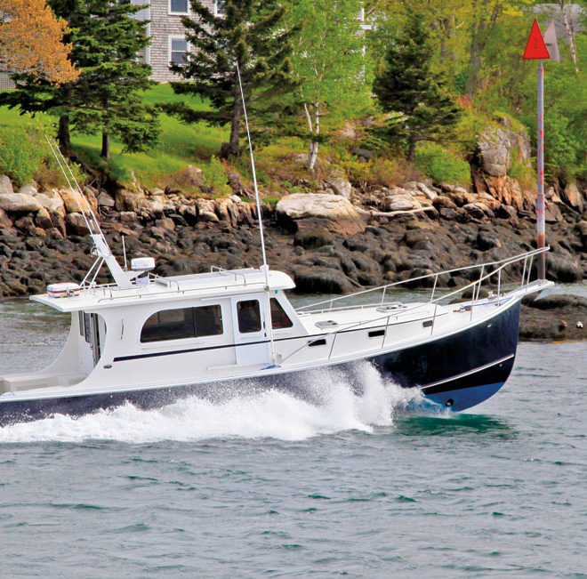
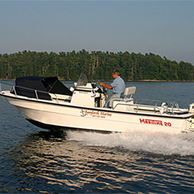
There are excellent shipbuilding, boatbuilding, and small-craft repair facilities along the entire town waterfront in the eastern part of the harbor.
Caution
In summer the inner harbor is nearly filled with all types of fishing and pleasure craft. At night, many of these are often unlighted, and great care should be exercised in approaching the anchorage to avoid fouling them or any of the numerous unoccupied moorings, which also are often unlighted. The footbridge across the head of the harbor has a small draw-span with a clearance of 4 feet.
Tides and currents
The mean range of tide is 8.8 feet. Tidal currents have little velocity in the harbor.
Harbormaster
Harbor moorings are under the supervision of the harbormaster.
(207) 380-7283; VHF 16
Boothbay Harbor Coast Guard
(207) 633-2661; VHF 16
Other Services
Taxi service, both local and to coastal bus service at Wiscasset, is available. Ferry service to the islands is maintained throughout the year. A hospital with pier and float landing is about 0.4 mile north-northeast of McKown Point.
Prominent Features
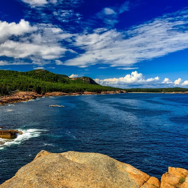
Burnt Island, partly wooded, is marked on the southeast side by Burnt Island Light, 61 feet above the water, shown from a white conical tower with covered way to a dwelling; a fog signal is at the light. White sectors in the light from 307° to 316° cover the fairway in the approach eastward of Squirrel Island from Fisherman Island Passage, and from 355° to 008°, the approach westward of the island from the south and westward.
Mouse Island, northward of Burnt Island, is wooded; it has a private float landing on the north side with a depth of about 12 feet, and a pier and float landing on the east side. A flagstaff on the east side of the island and several homes are prominent.
The tower and buildings of the Maine Department of Marine Resources fish hatchery and laboratory on McKown Point and the footbridge across the head of the harbor are conspicuous. A tower with a flashing red light above the harbor was also reported to be very prominent.
Channels
Two deep natural channels lead into the harbor. The easterly and widest leads between Spruce Point on the east, and Squirrel, Burnt, and Mouse Islands on the west. The westerly one leads between those islands and Southport Island on the west, but is narrow in places. Follow your nautical chart and the aids carefully, and you should be able to enter at any time.
Hazards
The approaches to the harbor are generally deep and clear with most of the hazards marked. Tumbler Island Ledge, off the west side of Spruce Point, covered 9 feet, is marked on its west side by a buoy. A lighted buoy, about 225 yards west-northwest of Tumbler Island, marks the ledges extending west and northwest of the island. The wooded island has a house and a prominent flagpole on it, and a pier with float landing extends from its northeastern end.
The passage and anchorage between Tumbler Island and Spruce Point should be avoided, as it is shoal and foul, unless you have local knowledge.
Clam Rock, about 700 yards northeastward of Tumbler Island, close to shore, is unmarked, as are 10- and 12-foot rocky ledges, 250 yards southwest, and 150 yards west, respectively, of the rock. A 14-foot rocky ledge, about 300 yards southwest of McFarland Island is unmarked, but the ledges surrounding the island are marked on the south side by a lighted buoy.